* Tabela rozmiarów Bloch Kids * Pomóż jej ćwiczyć pliés w ponadczasowym stylu baletowym dzięki sukience tutu Bloch® Kids. * Jednoczęściowy trykot z topem inspirowanym stanikiem i nakładką tutu. * Przy dekolcie tiulowe frędzle. * Wąskie, stałe ramiączka. * Lekko zaokrąglony dekolt. * Bez rękawów. * Bardzo marszczona, wielowarstwowa spódniczka tutu. * 83% nylon, 17% elastan; Podszewka: 100% poliester. * Prać w pralce i powiesić na sucho. * Importowane. * Wymiary: * Długość: 14 cali * Pomiary produktu zostały wykonane przy użyciu rozmiaru 8-10 Big Kids. Należy pamiętać, że wymiary mogą się różnić w zależności od rozmiaru.
EAN: 0082324054440
Kategorie Elektronika, Elektronika samochodowa i pojazdowa, Elektronika łodzi, Morskie plotery map GPS,
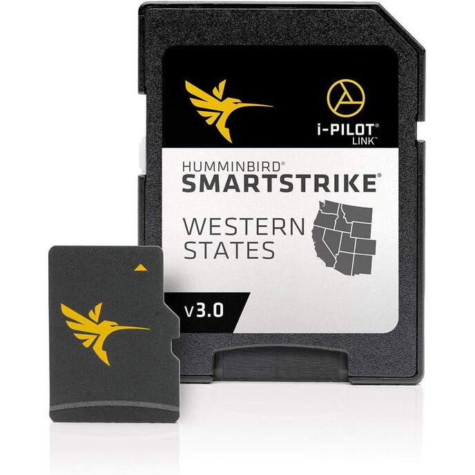
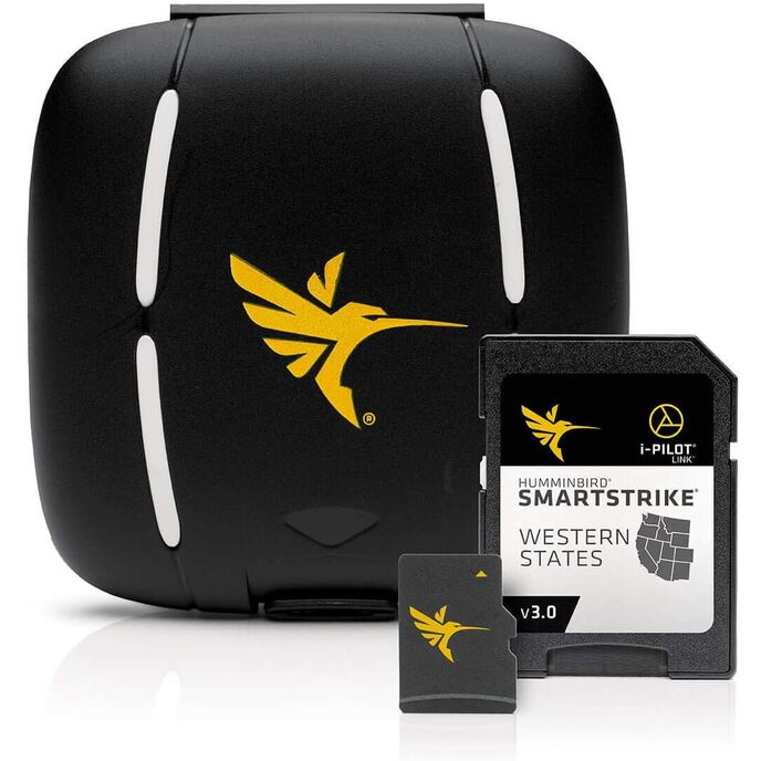
| Brand Name | Humminbird |
| Color | Black |
| Customer Reviews | 3.7 3.7 out of 5 stars 34 ratings 3.7 out of 5 stars |
| Fishing Technique | Any |
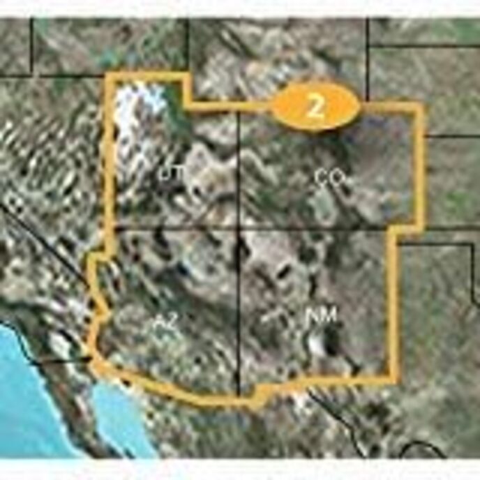
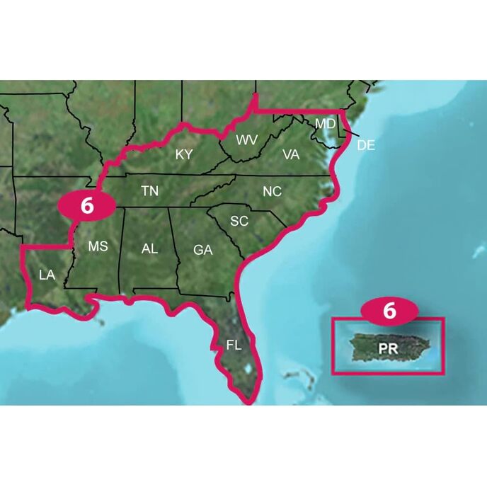
| Included Components | Humminbird 600040-3 SmartStrike Western States V3 Digital GPS Maps Micro Card |
| Item Dimensions LxWxH | 8 x 5 x 1 inches |
| Item Package Dimensions L x W x H | 7.52 x 5.35 x 1.26 inches |
| Item Weight | 0.34 Pounds |
| Manufacturer | Humminbird |
| Material | Plastic |
| Model Name | SmartStrike |
| Number of Items | 1 |
| Package Weight | 0.16 Kilograms |
| Part Number | 600040-3 |
| Size | One Size |
| Sport Type | Boating, Fishing |
| Suggested Users | Unisex-adult |
| Warranty Description | 30-Day Cartography Warranty |